Small Area Population Mapping
At the Wisconsin State Cartographer's Office in 2022, I worked with State Cartographer, Howard Veregin, on a small area population estimation project using dasymetric mapping. The project was funded through the Wisconsin Coastal Management Program and NOAA. We used tax parcels and census block groups to disaggregate census population to the parcel level.
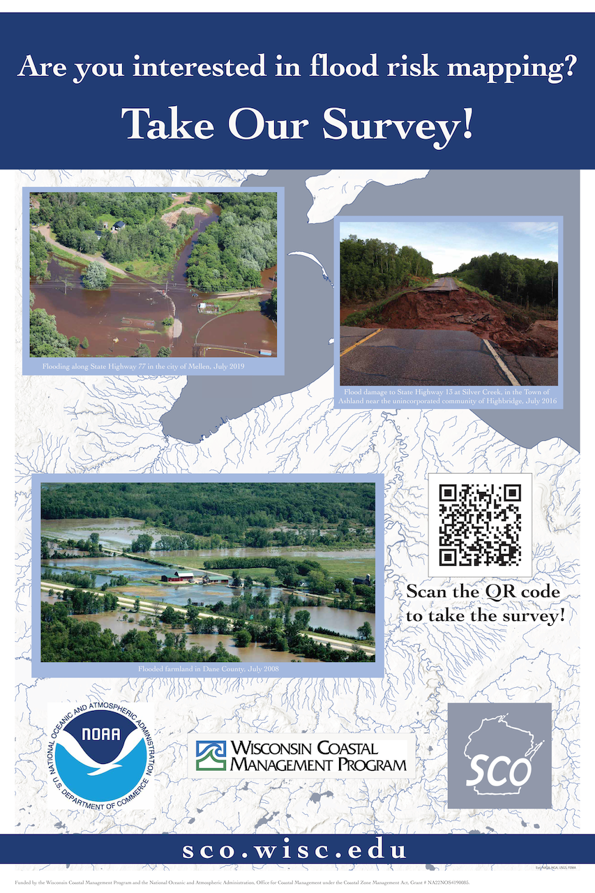
We brought a poster with to the Wisconsin Land Information Association's 2022 Annual Conference.
