St. Louis River Estuary Habitat Classification
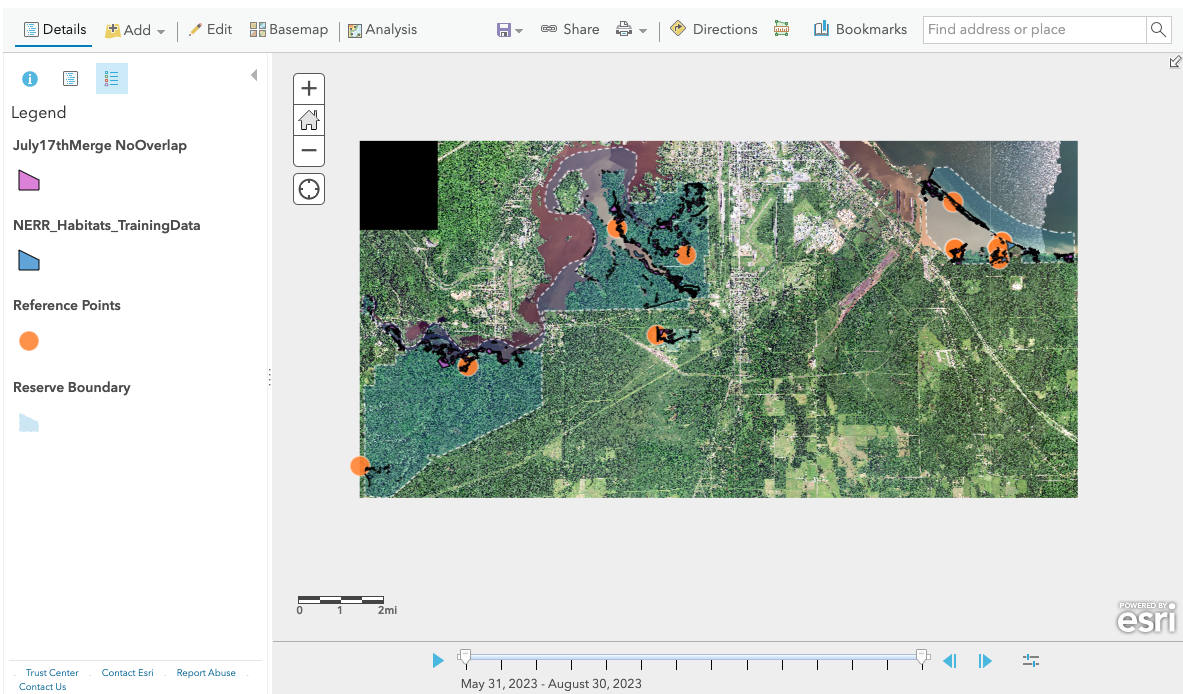
I developed an ESRI Field Maps application for a team at the Lake Superior National Estuarine Research Reserve to collect training polygons for a habitat image classifier.
See this post for a full description of the project.
See this post for our presentation at the 14th Annual St Louis River Summit in Superior, WI.

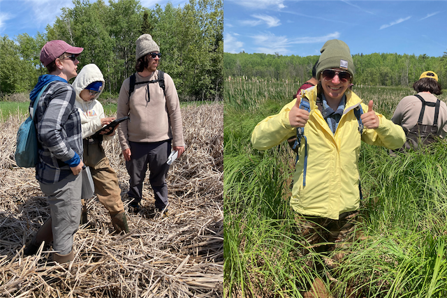
I got to visit the reserve multiple times over the summer and help out with field work!


